
Visualizing International Relations—Dr. William Callahan Encourages Students to Cultivate Observation Skills toward the World
Date :
2020-11-30
Department :
International Master's Program in International Studies
【Article by IMPIS】
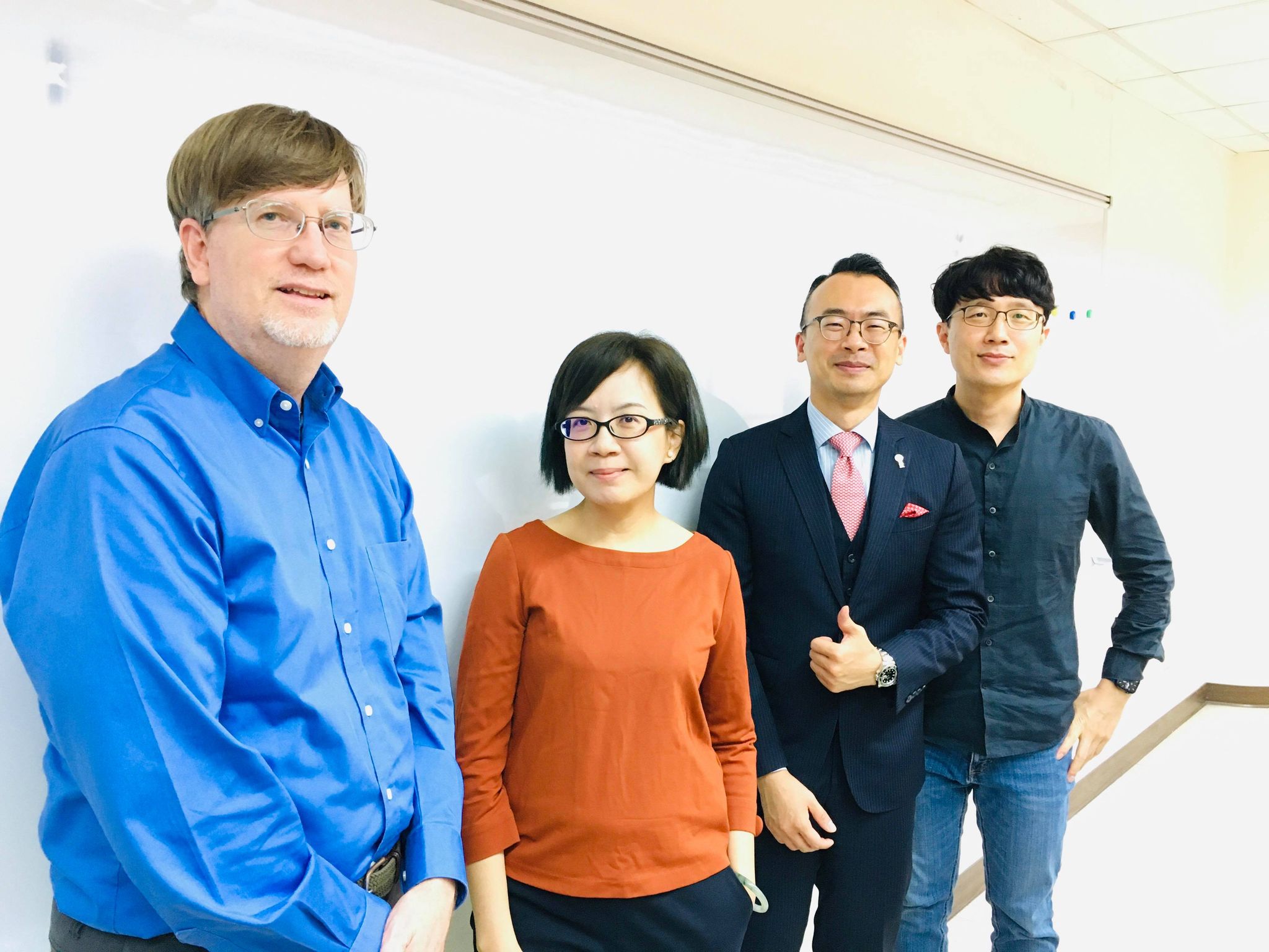
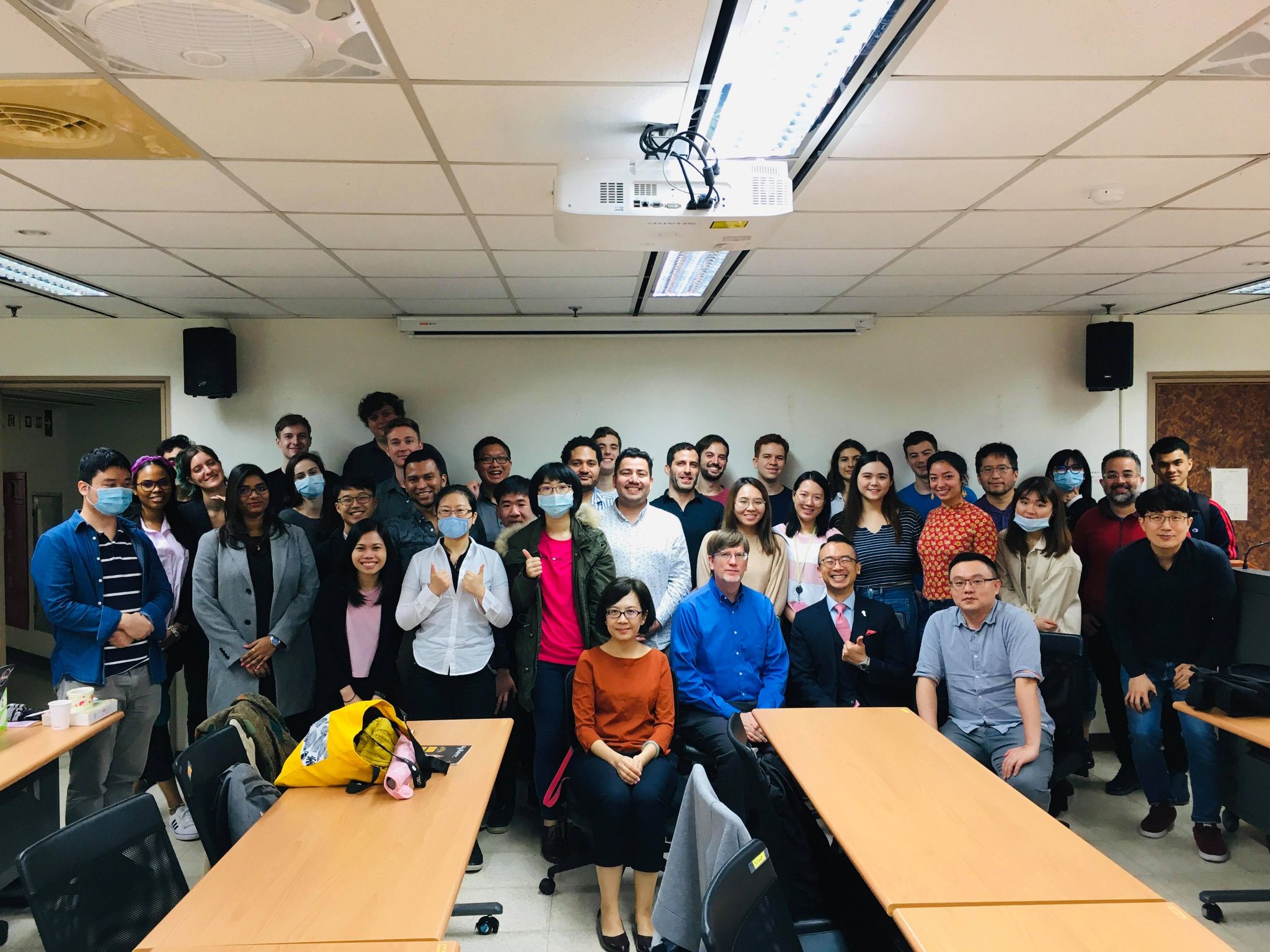
In the current era of big data, political science pays special attention to the systematic integration of information, so visualized charts can play very important roles for the all-encompassing scope of international politics. At an event held by International Mater’s Program in International Studies (IMPIS) and the Graduate Institute of East Asia Studies on November 27th, Dr. William Callahan, a professor of international relations from the London School of Economics and Political Science (LSE), UK, was invited to address a speech and release his new book "Sensible Politics: Visualizing International Relations.”
Dr. Callahan adopted several international relations theories and his expertise in film production to analyze the meaning of visual products and how they would affect the community's perception of the surroundings and interpersonal relationships in his new book. Objects such as maps, photos, movies, even clothing, architecture, etc. are all included in his discourse.
At the beginning of the speech, he showed a thought-provoking map of Europe released by Russian President Putin in recent years, which is Putin’s vision for the European map in 2035, truthfully reflecting the Russian government and Putin’s ambition. Within the map, Italy will once again be divided into many states and Ireland will regain the northern territories under the control of the United Kingdom, and even the Crimean Peninsula (originally owned by Ukraine) will be annexed by Russia in real life. Then, he dipped into the panoramic map of China since the Southern Song, Ming, Qing Dynasties and the Republic of China, to People's Republic of China today under the Communist Party’s governance. The aforementioned shaped the "view of the world" of the courts and the people back then. The Chinese government would draw upon these maps and international laws toward the current territorial disputes and claim their sovereignty.
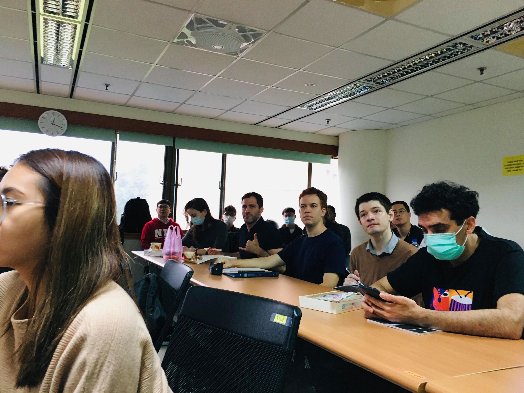
Since IMPIS students come from different cultural environments all over the world, several students have put forward quite interesting insights and questions. For instance, a student from the U.S. questioned China’s unyielding insistence on the sovereignty of the East China Sea islands regarding the current US-China relations. He also expressed deep regrets for the US President Trump’s attempt to build the US-Mexico border wall, and hoped that all countries’ leaders can take the lead to eliminate disagreements instead of creating more prejudice and in turn leading to conflicts.
In order to encourage students to cultivate more observation skills and explore more instances in real lives, Dr. Callahan is expected that students can have deep thoughts on these visual works, as well as the political factors and the effects behind. He encouraged everyone to give full play to their influences and bring positive improvements to the communities, countries, and even the world.
In the current era of big data, political science pays special attention to the systematic integration of information, so visualized charts can play very important roles for the all-encompassing scope of international politics. At an event held by International Mater’s Program in International Studies (IMPIS) and the Graduate Institute of East Asia Studies on November 27th, Dr. William Callahan, a professor of international relations from the London School of Economics and Political Science (LSE), UK, was invited to address a speech and release his new book "Sensible Politics: Visualizing International Relations.”
Dr. Callahan adopted several international relations theories and his expertise in film production to analyze the meaning of visual products and how they would affect the community's perception of the surroundings and interpersonal relationships in his new book. Objects such as maps, photos, movies, even clothing, architecture, etc. are all included in his discourse.
At the beginning of the speech, he showed a thought-provoking map of Europe released by Russian President Putin in recent years, which is Putin’s vision for the European map in 2035, truthfully reflecting the Russian government and Putin’s ambition. Within the map, Italy will once again be divided into many states and Ireland will regain the northern territories under the control of the United Kingdom, and even the Crimean Peninsula (originally owned by Ukraine) will be annexed by Russia in real life. Then, he dipped into the panoramic map of China since the Southern Song, Ming, Qing Dynasties and the Republic of China, to People's Republic of China today under the Communist Party’s governance. The aforementioned shaped the "view of the world" of the courts and the people back then. The Chinese government would draw upon these maps and international laws toward the current territorial disputes and claim their sovereignty.
Since IMPIS students come from different cultural environments all over the world, several students have put forward quite interesting insights and questions. For instance, a student from the U.S. questioned China’s unyielding insistence on the sovereignty of the East China Sea islands regarding the current US-China relations. He also expressed deep regrets for the US President Trump’s attempt to build the US-Mexico border wall, and hoped that all countries’ leaders can take the lead to eliminate disagreements instead of creating more prejudice and in turn leading to conflicts.
In order to encourage students to cultivate more observation skills and explore more instances in real lives, Dr. Callahan is expected that students can have deep thoughts on these visual works, as well as the political factors and the effects behind. He encouraged everyone to give full play to their influences and bring positive improvements to the communities, countries, and even the world.